Product Overview
CMOR Mapping - Florida Middle Grounds for TZT2 & TZT3
*Requires System ID to receive an Unlock Code via Email
To purchase this chart pack for NavNet, you will need to provide your NavNet system ID to your local authorized Furuno dealer. The system ID can be located under the MyNavNet menu on your NavNet system.
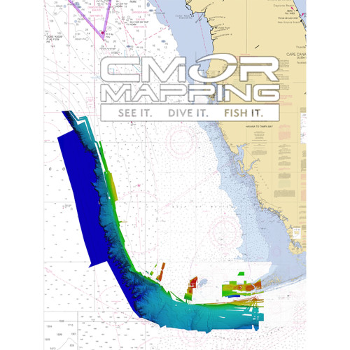
The Florida Middle Grounds CMOR Chart includes coverage of three separate sections:
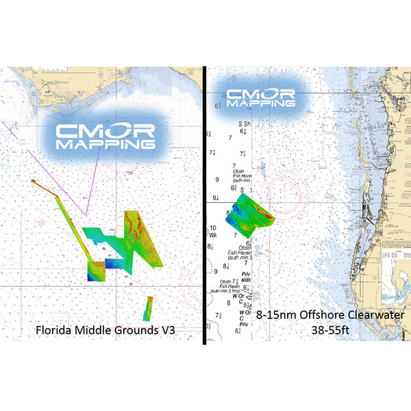
- The Florida Middle Grounds CMOR charts now include a huge expansion of the Florida Middle Grounds (mostly west of the grounds), Expanded Elbow Coverage, 20sq miles East of Clearwater (8-14 nm offshore), and the 40 break from steamboat lumps up to the twin ridges. Some of the pipeline is now coverage in great detail.
- The Middle Grounds section covers 1000 square miles, with depths ranging from 75' to 225'.
- The Steam Boat Lumps section covers 150 square miles with depths ranging from 220' to 500'.
- The Elbow section covers 50 square miles with depths ranging from 144' to 215'.
- The 40 Break from Twin Ridges south to Steam Boat Lumps
- Pipeline (north of Steamboat Lumps)
- 20 sq miles offshore Clearwater (8-15 nm) with depths ranging from 38-55 ft.
This CMOR chart is compatible with all NavNet TZtouch3 MFDs and NavNet TZtouch2 MFDs with software version 6.23 and above. To purchase this chart pack for NavNet, you will need to provide your NavNet system ID to your local authorized Furuno dealer. The system ID can be located under the MyNavNet menu on your NavNet system.
Note that you will need to purchase an unlock code from your Authorized Furuno Dealer.
NOTE: All sales of Chart Unlock Codes are final. Once an unlock code for any chart area is purchased and the code has been provided by Furuno, no refunds, credits, or exchanges are permitted.
Areas displayed are for guidance only and do not reflect exact coverage.


